Improved Flows on the Yuba - One Step Closer (CA)
 On December
19th, the Federal Energy Regulatory Commission (FERC) issued the Final Environmental
Impact Statement for the Yuba-Bear /Drum Spaulding Hydroelectric Project, located in the Yuba
River watershed in Northern California. The licensees, Nevada Irrigation District and Pacific Gas
and Electric Company operate the Yuba-Bear/Drum Spaulding system in tandem. Combined, the system
includes 42 reservoirs and 16 powerhouses, is likely the most complex power project in the United
States and covers an area greater than the state of Rhode Island.
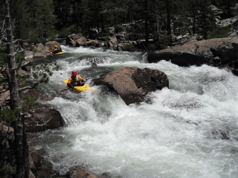
In the FEIS, FERC agreed with virtually all of the conditions that we negotiated during the six-year relicensing process. These conditions include improved flows on over 110 miles of some of the best whitewater runs in California. These runs include:
South Yuba
- Yuba Gap
- Golden Quartz
- Washington to Edwards
- Edwards to Purdon
- Purdon to Highway 49
- Highway 49 to Bridgeport
Middle Yuba
- The Boxes
- Milton to Plumbago
- Plumbago to Our House Dam
Canyon Creek
- French Lake to Bowman Lake
- Artic Mine to South Yuba
Fordyce Creek
- Fordyce Dam to Spaulding Reservoir.
Bear River
- Rollins Reservoir to Lake Combie
These river reaches will benefit from improved flows that more closely mimic the natural hydrograph. By slowing the rate that flows drop during spill events, the Middle and South Yuba in particular, will behave more like the undammed rivers, such as the North Fork American. In the document FERC states, “Rapid reductions in flow following a spill event can adversely affect aquatic resources in downstream reaches, particularly life stages that are immobile or have limited mobility”. Making flow reductions after spill events more gradual will also enhance the spring boating season and make flows more predictable.
On other reaches that will see flow improvements include Fordyce and Canyon Creeks. On these reaches, water from snowmelt is stored for hydropower and water supply later in the year. Part of the new license will require PG&E and NID to release water at levels that provide boating opportunities. On Canyon Creek below French Reservoir NID will provide a target streamflow of between 120 and 150 cfs between September 1 and September 30 of each year. This last September, Nevada Irrigation District released flows below French Reservoir as a test of their ability to provide these flows in the new license. This next year, we will be working with PG&E, to hopefully, provide a similar test of the new flow conditions for Fordyce. These flows will be between 475 cfs and 250 cfs during late June and through July and last for a month or more.
In addition to improved river flows, FERC also agreed with the need for paddlers to have access to flow information. In several places in the document FERC stated, “Real-time information on recreational flow is needed on a year-round basis to support a growing demand for whitewater boating activities, even during the winter”. Most of this flow information is currently being provided, and was a result of our whitewater flow studies for this project that we began back in 2008.
The final step in the regulatory process is for the California State Water Resources Control Board (SWRCB) to release the water quality certification for the project, a requirement of the Clean Water Act. The SWRCB expects to have this certification completed early in 2016.
When this license is issued in 2016, American Whitewater will have been working on this project for a decade. A long time to be sure, but restoring a watershed the size of the Yuba is worth the effort. In addition to negotiating the new flow conditions, American Whitewater was heavily involved in developing the new science that was used to justify more natural flow conditions. This science is being used on many other projects throughout California as a rationale for more predictable flows during the spring snowmelt. This is good for fish, frogs, and boaters.
Dave Steindorf
4 Baroni Drive
Chico, CA 95928
